
Worcester, MA, March 20, 2024- A number of roads such as Lancaster Street, also known as the West Side Artery, were built in the 1950s as part of a growing movement in urban planning at the time to serve car access. This created virtual concrete canyons dividing various parts of the city. In particular, the Crown Hill, lower Chandler, Pleasant Street, Elm Park, and Highland Street neighborhoods were effectively cut off from downtown. The Salisbury Cultural District and downtown were also impacted by the expansion of streets such as Lancaster, Harvard, and Irving.
To address these past planning mistakes and encourage pedestrian connections, add more community greenspaces, and create housing density through infill development on excess surface parking lots in this area, the Chamber has put together an urban planning concept plan for residents, business and property owners, and city officials to consider as future economic development, housing, and transportation planning priorities are considered.
As stated, this is a concept plan and slide deck that looks at potential areas of focus and utilizes images and designs of what the corridor and the four nodes might look like. Moreover, the concept plan and slide deck were developed to facilitate conversation between property owners, residents, developers, neighborhood organizations, institutions, and government officials on how to address the excess number of underutilized parking lots and roads that were built to state highway standards through neighborhoods that once connected easily to Worcester’s downtown.
The Chamber retained the services of local architect Steve Mita to develop the concept plan and slide deck. “Steve did a great job presenting the traffic and mobility issues as well as density opportunities that might be addressed throughout the corridor over time,” said Tim Murray President and CEO of the Worcester Regional Chamber of Commerce.
“Through my research, I found that there is a tremendous opportunity to fix the planning decisions made with the establishment of the West Side Artery back in the 1950s,” said Steve Mita. “Worcester is primed to become a pedestrian-friendly city by connecting our neighborhoods with the downtown district by creating density, walkable routes, greenspaces, housing, and more.”
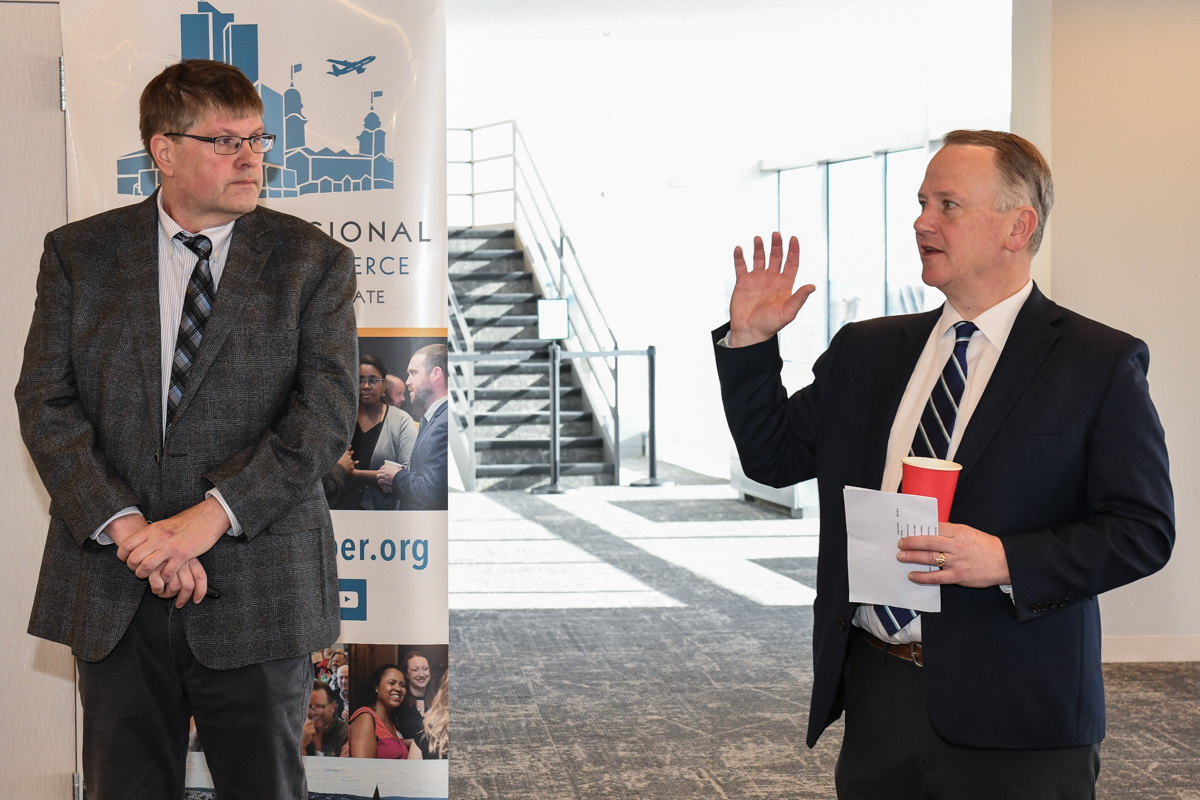
Mita presented the concept plan at the Chamber’s Business and Government Forum before 75 attendees that was held on Tuesday, March 19th on the top floor of 446 Main Street.
The slide deck can be found at https://www.worcesterchamber.org/events/business-and-government-forum/
ABOUT THE WORCESTER CHAMBER
The Worcester Regional Chamber of Commerce is the largest Chamber in New England representing over 2,300 members from all industries and of all sizes located in a service area of over 35 cities and towns and other communities in Central Mass. and beyond. The organization serves the region’s business community through public policy advocacy, educational and networking events, and economic development efforts. Worcester’s affiliates are Auburn, Blackstone Valley, Central Mass. South, Wachusett Area, and Webster Dudley Oxford. LABO and Clinton were also recently named as partner affiliates, growing the Chamber’s membership to over 2,350 members. For more info, visit: https://www.worcesterchamber.org.